This project aims to reduce the frequency of flooding on 148th Avenue Southeast between Southeast Eighth Street and Main Street. A conceptual design has been completed, taking into account the effects on habitat and fish passage, drainage flow improvements, maintenance and cost-effectiveness. Currently, this project is on hold while the city works with King County Flood Control Zone District to secure funding to complete designs.
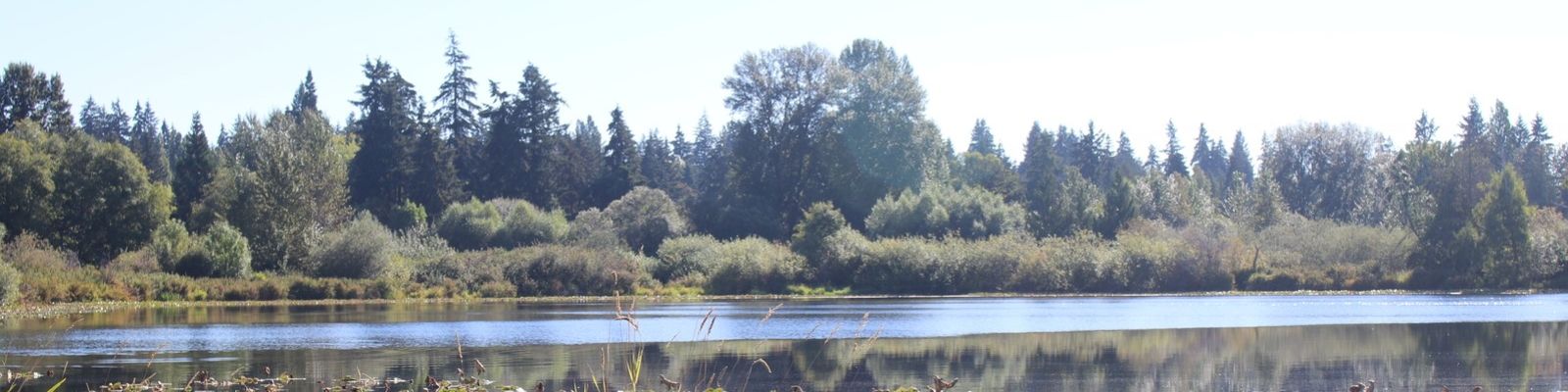
The City of Bellevue and King County are working together to develop and implement a future design to provide healthier stormwater drainage between Larsen Lake/Lake Hills Greenbelt and Upper Kelsey Creek.
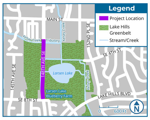
Project area map
Background
Following moderate to heavy rain or long rain events, 148th Avenue has been fully or partially closed by the city due to high water levels on numerous occasions between Southeast Eighth Street and Main Street.
The 148th Avenue corridor is the only major north-south arterial roadway in East Bellevue, a federally designated truck route, and a critical commuter and emergency services access route between Interstate 90 (I-90) and State Route 520 (SR 520) with an average daily traffic over 33,000 vehicles.
During closures, adjacent corridors, including residential areas with limited vehicle capacity, have been impacted. Flooding also threatens nearby parklands, blueberry fields and residences.
The city will reduce negative impacts in the project area through the planned mitigation measures by reducing the recurrence of flooding, and preventing further roadway sinkage and culverts from warping.
-
Schedule
- October 2023:
- Conceptual design complete
- August-September 2023:
- Evaluate alternative designs and develop a conceptual design to move forward with comprehensive engineering design.
- 2022:
- Received funding from the King County Flood Control Zone District to initiate preliminary design.
- 2018:
- Completed initial study to investigate the source and impacts of roadway flooding.
Funding
Funding for the project comes from the city’s Capital Investment Program and the King County Flood Control Zone District. The estimated cost of preliminary engineering is $600,000.
The city is working with the King County Flood Control Zone District to secure funding for the design phase.
Background material
- Alternative 1
- Alternative 2
- Alternative 3 (Preferred)
- Alternative Analysis Report (December 2023)
- Engaging Bellevue Online Open House (October 2023)
- Project update mailer (August 2023)