Published February 5 2018

Over the course of its history, Bellevue has transformed from a sleepy suburb to a booming economic hub. A unique example of this transition can be found in how the city handles the data it generates.
In 2016 the city launched an open data portal with the intent to add data sets that offer multiple benefits to the community. Last November, Bellevue was recognized by the Center for Digital Government as a “Digital City,” in part because of the engagement and innovation of this resource.
“The additions to the open data portal reflect our continued commitment to transparency and civic engagement,” said Sabra Schneider, Bellevue’s chief information officer “We hope to empower members of the public, researchers and entrepreneurs who want to use this data.”
In collaboration with other departments, IT staff have steadily expanded the portal over the last two years. Almost half the data sets on the portal are now automated, meaning the information flows directly from internal systems out to the public.
Permit data
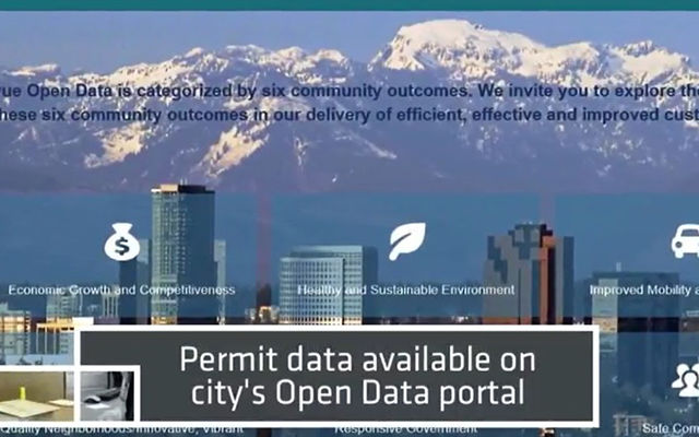
Data concerning over 285,000 permits that the city has issued over the years are now available online. As with much other information on the portal, the permit records are presented in interactive maps, which can be filtered for permit types, such as single-family homes and major projects.
Collision data for Vision Zero
In 2015 the city launched its edition of the international Vision Zero initiative to reduce traffic deaths and serious injuries. The city developed an interactive map last year that allows users to see where all fatal and serious-injury traffic collisions on Bellevue streets have taken place since 2007. There’s a bar chart tracking yearly totals and layers for collisions involving vehicles, bicycles or pedestrians.
The collision data that powers the map is also available online.
Community Risk map
A new community risk map allows anyone to explore the location of fire stations in the city, see how their building ranks in the fire department’s structural risk assessment, with low-, medium- and high-risk buildings, as well as the locations of fire incidents, fire protection systems and fire hydrants.
This new automated map makes it easier for residents to view this information and for Fire Department staff to use and maintain it. Additionally, moving from a PDF map to an online system has the benefit of allowing residents to see what the city is looking at and considering when performing risk assessments of the community.
Making sure it’s the right data
These aren’t the last data Bellevue plans to open, or even the finish line for these specific data sets.
“We’re planning to go back and ask Development Services how the online permit data has helped their operations,” IT systems analyst Jeremiah Griswold said. “In a few months, we’ll assess what has worked, what hasn’t and what we can do better in the future.”
If you have questions about Bellevue’s open data work or ideas for how the city could do better, contact us at opendata@bellevuewa.gov.
