Published March 11 2016
Bellevue's comprehensive plan is a foundational document, packed with detailed information about the city and guidance for its future development. To help make the plan accessible, the city has developed a "story map," which uses narrative text, multimedia and interactive maps to illustrate Bellevue's goals and policies.
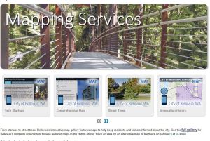
Story maps, including ones about tech startups here and man-made and natural hazards, are offered as part of the city's expanded mapping services. In addition to traditional maps of Bellevue, the city now offers mobile-friendly versions of some, which allow users to zoom, click for more detailed information, and turn layers on and off. There's an entire interactive maps gallery.
"These mobile, interactive maps allow users to more easily learn about city services and see what's happening in their neighborhoods," said Chief Information Officer Toni Cramer.
The story map about the Comprehensive Plan puts neighborhoods, capital facilities and economic development into context. For example a map of Bellevue's streams, classified as fish bearing, potentially fish bearing and non-fish bearing, illustrates the Environment and Shoreline Management chapter. Shading on the Housing map shows the percentage of households paying more than 50 percent of their income for housing in each neighborhood area.
A story map about Tech Startups presents Bellevue's continued growth as a hub for technology startups, attracting a highly educated, entrepreneurial and talented work force. A story map about critical hazards shows areas prone to liquefaction, flood or contamination from ruptured gas lines. Other story maps focus on solar potential of homes, Bellevue's Botanical Garden, capital projects and more.
A variety of maps have been available on the city website for years, but the Geospatial Technology Services team in the city's Information Technology Department took advantage of new ArcGIS mapping software to improve its maps and expand upon the available options. The city continues to make GIS data and free PDF maps available on its website.

